

Built for every market
The same standards apply across every market, giving you total confidence in every decision. No shortcuts, no exceptions, just one level of rigor everywhere.
Enrich your geospatial stack with global places and mobility data, so you can deliver precise, reliable experiences anywhere in the world.
Get started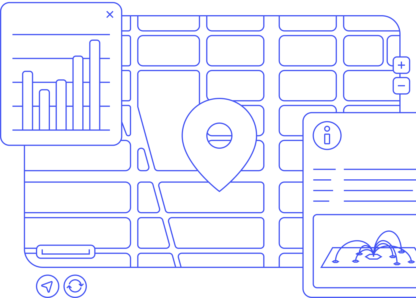
We span 250+ countries and territories, including data-scarce regions most providers miss. No matter where you operate, the data holds up.
The same standards apply across every market, giving you total confidence in every decision. No shortcuts, no exceptions, just one level of rigor everywhere.
Dataplor doesn't collect or use personally identifiable information. Our places and foot traffic data comply with strict privacy regulations, including GDPR, so your insights hold their own under scrutiny.


Whether your team needs a ready-to-use platform or structured datasets to power your own models, we meet you where you are.
for strategic leaders and operators

Visualize location data on an interactive global map

Analyze data without engineering support or code

Customize dashboards to fit your KPIs

View privacy-compliant foot traffic data

Access 200M+ POIs and foot traffic signals at global scale
for technical and data science teams

Receive pre-structured, normalized data

Request custom data cuts and schemas to match your models

Integrate via API or flat file into your existing pipeline
View privacy-compliant foot traffic data
Access 200M+ POIs and foot traffic signals at global scale
From accuracy to expansion, better data shapes every decision you make. Here’s what that looks like across your business.
Book a demoGive your users verified points of reference for precise travel estimates and on-time arrivals, whether they’re a rideshare driver or a delivery contractor.
Limit costly refunds and support tickets caused by incomplete addresses, imprecise geocodes, and incorrect pickup or delivery locations.
Every location is built on a combination of machine learning and human verification, so your GIS platform runs on data that’s actually been checked, not just scraped.
Layer places and mobility data into your systems to optimize routing, strengthen customer profiles, or plan network buildouts.


